A Personalized Platform for Cyclists and Events
A Personalized Platform for Cyclists and Events
The world’s most precise cycling intelligence system.
Ultra-high-fidelity terrain mapping and adaptive ride personalization—designed to eliminate uncertainty before you ride.
Request Beta AccessThe End of Guesswork in Ride Selection
Cycling 360 models how a ride will feel for you before you clip in.
The same ride is a recovery spin for one rider and a race effort for another. Traditional maps show you where the road goes, but they fail to tell you how it rides. Our system quantifies that difference.
We remove the decision risk so you can focus on the performance.

Why Cycling 360 Maps Are Fundamentally Different
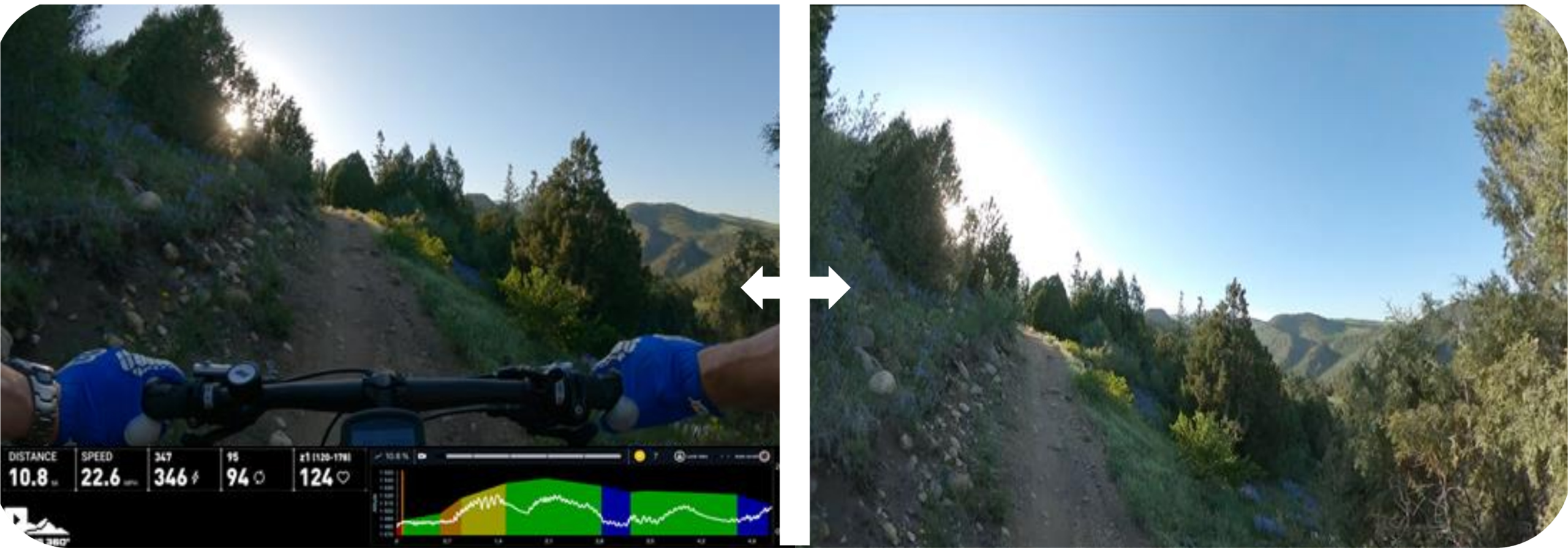
Traditional mapping systems were built for cars and pedestrians. Cycling 360 maps are built from the ground up for rider physics—capturing surface texture, gradient variance, rolling resistance, and dynamic terrain behavior at a resolution up to 8× greater than consumer street-level imagery.
- Sub-meter surface and grade sampling
- Continuous elevation micro-variance modeling
- Ride-direction–aware physics calculations
- Sensor-driven data ingestion (not crowdsourced photos)
System Capabilities
Terrain Intelligence
Understanding how the world actually rides, beyond simple GPS coordinates.
Rider Modeling
Dynamic analysis of how your current fitness changes your perception of terrain.
Predictive Scoring
Forecasting effort, fatigue, and outcome before you leave home.
Segment Context
How speed, flow, and cumulative fatigue interact over the course of a route.
Request Access
Cycling 360 is currently onboarding a limited number of riders to validate performance models across terrain types and fitness profiles. Access is granted on a rolling basis.
Early access includes priority feature input and lifetime pricing considerations.